

This route feels like a slow clockwise sweep around the south of County Down, tracing where mountains, lough and open sea keep trading places. You begin in Newry, where canal and traffic routes knot together at the edge of the border, then slide into Rostrevor and Cranfield, where the Mournes lean straight down towards Carlingford Lough and the sea. Silent Valley folds you right into the heart of those mountains, all still water and enclosing hills, before Annalong and Dundrum tip you back out to working harbours, ruined castles and long tidal bays. It’s a neat rhythm of up into the hills, down to the shore, up again and out once more.
From Dundrum onwards, the route turns into a tour of quieter edges and narrows. Ballyhornan gives you a raw, half-forgotten chunk of coastline, all low cliffs, concrete ghosts and Atlantic weather, before you slip into the intricate world around Strangford Lough. Portaferry and Strangford face each other across fast-moving water, ferry shuttling back and forth while islands, estates and mudflats spread out behind them. Finally, you run back into Belfast, the cranes and docks pulling you from loughside villages into a full-blooded city. It’s a journey of relatively short hops where the mood shifts often from a mountain bowl, open beach, tidal channel, then streets and shipyards to finish.
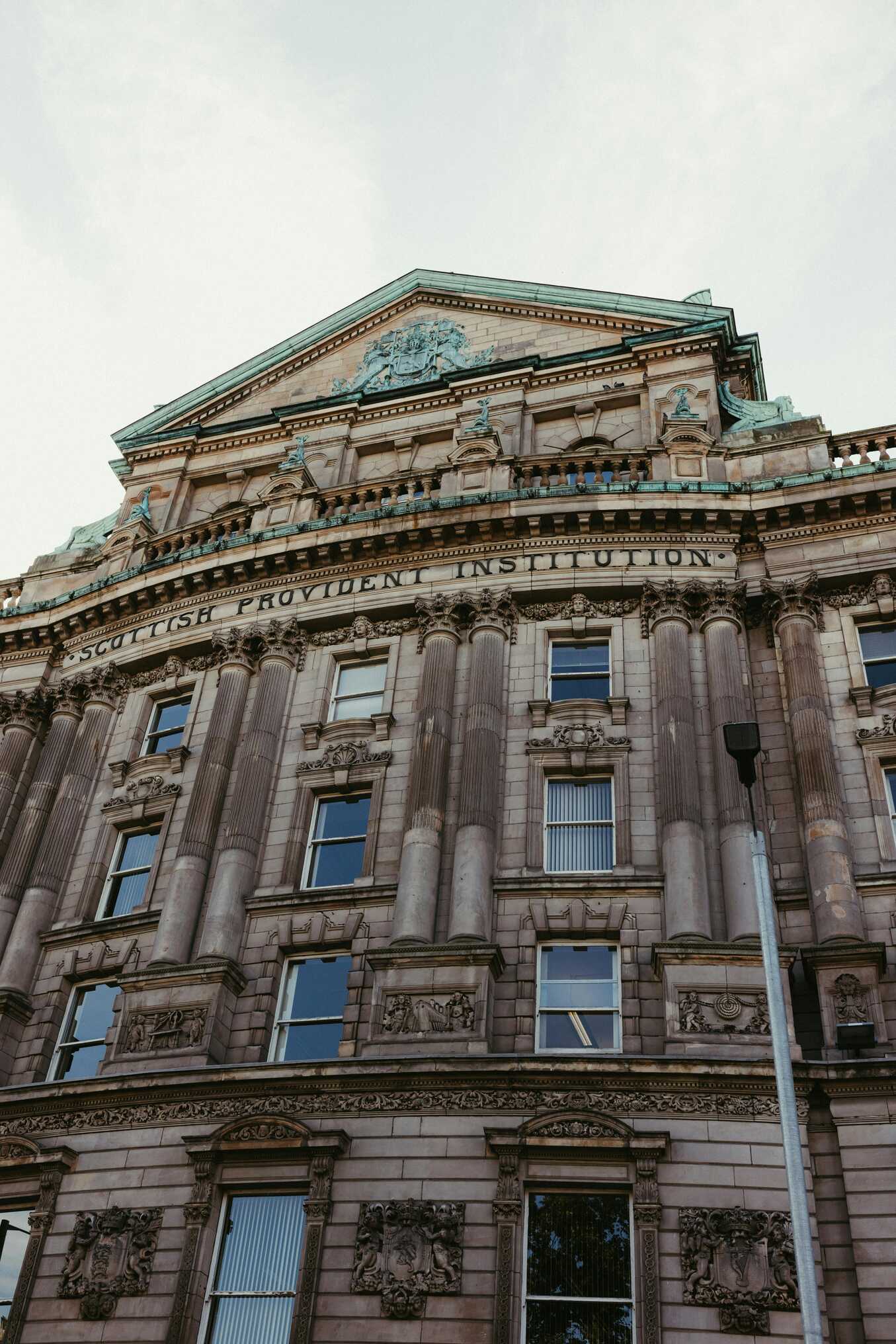
Newry sits in the shallow bowl where canal, river and road all meet, a small city threaded with water and hills on the horizon. You roll in past retail parks and roundabouts, then suddenly you’re beside the canal with its quiet, straight run of water and old stone bridges. The streets around the centre feel compact and lived-in. Churches, bars, shopfronts with bright signage, all stitched together by the steady pulse of traffic heading between Belfast and Dublin.
If you wander on foot, you’ll find little markers of history tucked in among the everyday: the cathedral up on the hill, the old warehouses along the canal, reminders that this was once a serious trading route. Look up and you’ll catch glimpses of the Mournes shouldering up to the east, hinting at the wilder ground you’re heading towards. Newry is less about ticking sights and more about setting your bearings, a practical, grounded starting point that sits neatly between mountains, coast and border.
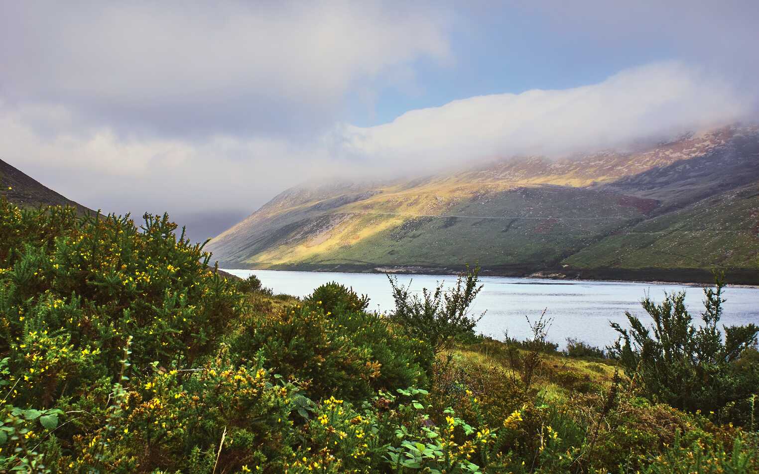
Rostrevor feels like it’s been tucked carefully between mountain and sea. You drop down through trees and houses to a village that seems to lean towards Carlingford Lough, the water stretching out in a long, silver tongue with the Cooley Peninsula rising on the far side. Behind you, the lower slopes of the Mournes gather themselves into dark, wooded ridges that promise proper walking country.
The shoreline park is the natural place to pause: boats moored just offshore, a scattering of benches, the sound of waves tapping at the stones. Inland, narrow streets climb past cottages and small shops, then quickly give way to forest drives and waymarked trails up into the hills. On a still evening, lights from across the lough blink back at you, and the whole place feels cupped in a quiet, natural amphitheatre. Rostrevor is where this route really changes gear, trading city edges for trees, slopes and salt water in one neat step.
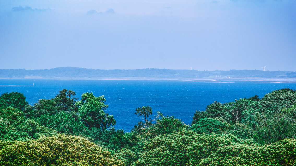
Cranfield Beach is where the lough finally gives up and turns into open sea. You arrive to a long, shallow curve of sand facing straight out towards the mouth of Carlingford Lough, with the Mournes dropping away behind you and the faint line of the Cooley hills still visible across the water. On a clear day, the view feels enormous headlands, sea and sky layered out in soft blues and greys.
The beach itself is simple and unfussy: caravans and holiday homes behind, sand underfoot, the steady push and pull of low, rolling waves. Families set up windbreaks, dogs tear joyful circles at the water’s edge, and the air smells clean and salty, with just a hint of grass from the dunes. Stand at the shoreline and you can feel the shift from sheltered lough to true coast, a subtle but definite change in the way the wind and water move. Cranfield is a good place to just walk, breathe and look, letting the rest of the world shrink for a while.
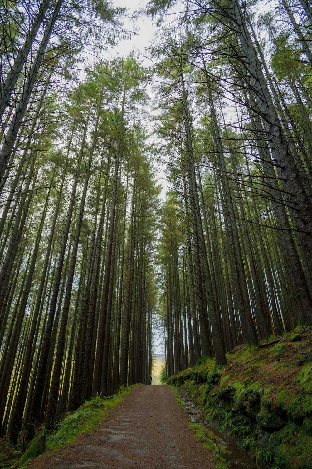
Silent Valley feels like a secret cupped in the hands of the Mourne Mountains. You drive in along a narrow, gently climbing road, pass through stone gates and suddenly the hills rise steeply on all sides, their flanks folding down towards a long, still ribbon of water. The reservoir sits there quietly doing its job, feeding cities far away, while up close the mood is all calm paths, grassy banks and the soft rush of streams.
Walk one of the circuits and the soundscape narrows to bootsteps on gravel, water moving through culverts, the occasional call of a bird echoing off the slopes. On misty days, the tops disappear and the valley feels enclosed and intimate; in sunshine, every rock and contour stands out in sharp relief. Old dam walls and stonework sit solidly at one end, reminders of the engineering that shaped this place, but mostly it feels like a bowl of mountain air and water, inviting you to slow down and listen to the quiet.
Annalong is where the Mournes run their last streams into the sea. You come down through fields and low houses to a harbour that still carries the outlines of its granite-quarrying past – old cranes, stout walls, channels once busy with stone-laden boats. The village stretches along the shore in a neat line of cottages and shops, the rhythm of Atlantic swells setting the background beat.
Walk the harbour and you’ll hear waves slapping the outer wall, gulls arguing overhead, the occasional clank of rigging. Inland, the view snaps suddenly upwards into the broken outline of the mountains, their slopes scored with old tracks and rivers. It’s a place that feels firmly rooted in work and weather, less polished than some stops but all the more honest for it. Annalong marks a pivot on the route: one foot in the hard graft of the coast, the other already angling towards softer sands and estuaries further north.
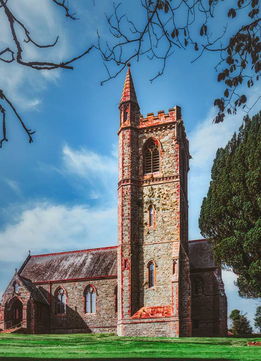
Dundrum curls around a sheltered bay with its ruined castle watching quietly from the hill behind. You arrive and see the water first – mudflats and channels at low tide, reflecting sky and birdlife – then notice the broken walls and towers sitting above the village, half-folded into the trees. It’s a view that shifts with the tide and the light, never quite the same twice.
Down at the shoreline, the air is full of wader calls and the soft squelch of mud underfoot, while just beyond the dunes lies a long run of clean sand out towards Murlough and Newcastle. Climb up to the castle and the panorama opens: bay, dunes, town and the bulk of the Mournes rising behind in a big, satisfying sweep. Dundrum has a quiet, slightly sleepy feel, but it’s rich in angles – a place where you can look out, down or up and get a completely different sense of where you are.
Ballyhornan feels like a bit of wild coast hiding in plain sight. You turn off towards what looks like a modest housing cluster and then find yourself at the edge of low cliffs and rough grass, waves working steadily at a rocky shore below. Concrete remnants and old structures hint at the former RAF base here, but the dominant presence now is the sea and sky.
Paths snake along the edge, sometimes dropping to little coves, sometimes skirting above in broad sweeps. On windy days the air is heavy with spray and the grass leans inland; on calm ones, the horizon stretches out in a flat, silver-grey line that seems to run forever. It’s easy to find a quiet corner to sit and just watch seabirds tracing invisible routes along the cliffs, the light shifting across the water. Ballyhornan feels raw and unfussy, a good reminder of how quickly this coastline can flip from gentle inlets to something much more elemental.
Portaferry sits at the pinch point of Strangford Lough, its streets running steeply down to the slip where the ferry noses back and forth all day. You roll into town and almost immediately feel that sense of movement. Cars queuing for the crossing, the thud of the ramp, the churn of water as the boat swings across to Strangford on the opposite shore. The two villages face each other across a narrow strip of tide that never seems to sit still.
Behind the waterfront, Portaferry is a small tangle of lanes, pubs and shops, with glimpses of the lough slipping between gables. The water here is busy with life: swirling currents, seals on the right day, flocks of birds moving between the islands and mudflats further inside the lough. It’s a working, lived-in place with just enough visitor gloss, and it makes you very aware of Strangford Lough as a vast, semi-enclosed world of its own that you’re only just starting to edge around.
Strangford faces Portaferry across that fast-flowing narrows, a village of painted houses, trees and a compact little harbour where the ferry docks with quiet regularity. You drive down into it and the water is suddenly right there, flowing past with surprising force, the boat nudging against the slip before turning and gliding away again. The square just above the shore has a sheltered, almost leafy feel, odd for somewhere with such a powerful tide at its doorstep.
Wander a little and you’ll find stone walls, overhanging branches and glimpses of big houses tucked away among the trees – reminders that this edge of the lough has long been a place of estates and old money. Beyond the village, roads and lanes peel off into woods and shorelines that feel much more remote than the map suggests. Strangford is a soft but distinctive pause, a place where the scale of the lough really hits you and the relationship between land, water and current is written in every eddy.
Belfast pulls you back into full city mode, but with the sea and shipyards never far from mind. You come in on motorways and broad roads, pass cranes and docks, and suddenly you’re among red-brick terraces, Victorian facades and sharp new glass all sharing the same streets. Down by the waterfront, the great yellow gantries of Samson and Goliath still dominate the skyline, a reminder of how much of the world’s shipping once started life here.
In the Cathedral Quarter, cobbled lanes thread between bars, murals and converted warehouses, the air thick with music on the right night. Up around the university, leafy avenues soften everything into something more campus-like. Titanic Belfast glints by the docks, telling the story everyone knows in the place it began. Belfast is a city of layers and seams, industry, politics, culture, everyday life and as the final stop on this route it jolts you, in a good way, from quiet harbours and loughside villages back into somewhere loud, complex and very much alive.
This route runs from Newry and Carlingford Lough into the Mourne Mountains, then follows the coast up to Dundrum Bay, Ballyhornan and the mouth of Strangford Lough before finishing in Belfast. It blends forested hillsides and reservoir roads with big sandy bays and quieter fishing villages. You get proper mountain outlines without a long drive, then a softer run of beaches and lough views to wind down.
From Newry you drop quickly into Rostrevor and Kilbroney Park where you can pick from forest trails, the Cloughmore Stone viewpoint and mountain bike routes. Cranfield Beach is an early chance to walk the shore of Carlingford Lough with views back to the Cooley Mountains. Heading inland, Silent Valley Reservoir puts you right in among the Mournes with dam walks and valley tracks that feel remote without being difficult to access.
Back on the coast, the stretch through Annalong and into Newcastle is about sea walls, long promenades and the classic “mountains meet the sea” view across Dundrum Bay. Murlough Nature Reserve and the dune system are worth even a short stop. Further north, Ballyhornan is wilder and less developed, with a big open beach and craggy headlands. At the top end of the route Portaferry and Strangford give you small harbour charm, ferry crossings and the option to spin out to Castle Ward or the shores of Strangford Lough before you roll into Belfast for the city finish.
Newry and Warrenpoint cover you for early supplies and a first sit down meal. Kilkeel and Annalong have fish and chip shops and small cafés that sit naturally on the line between Cranfield and Silent Valley. Newcastle is the main food hub in the middle of the route with seafront restaurants, pubs and ice cream spots. Dundrum has a couple of well known places that justify a small detour if you want a more focused dinner.
Up around the lough, Portaferry and Strangford both have reliable pubs and seafood led restaurants around the square and waterfront. They work well as a slow evening stop with a short wander after eating. Belfast at the end gives you full city choice if you want to finish with something a bit bigger, from casual street food style places to full on tasting menus.
For vans and tents, there is a nice rhythm of stops. Kilbroney Caravan Park above Rostrevor is an obvious first night with forest trails right from the gate. Cranfield has several holiday parks that sit right behind the beach, ideal if you want to wake up by the lough. Around the Mournes there are simpler sites and small parks near Annalong, plus Tollymore Forest Park and sites around Newcastle that keep you close to both hills and sea.
North of Dundrum, you can choose between quieter coastal park ups near Ballyhornan and serviced marina style motorhome bays in Portaferry. That lets you break the route again before the final run into Belfast. For hotels and B&Bs, Rostrevor, Newcastle and Strangford all make good overnight bases, and you can finish with a city hotel in Belfast if you want a last night treat with bars, live music and an easy walk back to bed.
TopStops is built to be used like a shared guidebook, not a strict itinerary.
Browse the routes to see how others have travelled an area, check the map for regularly recommended stops, and get a feel for the journey with photos, highlights, and quick info on each place. When you’re ready, follow the route yourself or adapt it to your own trip.
If you discover a spot we’ve missed, submit it. The best community suggestions get added to the map, so every route slowly improves with real travellers’ input.
Do you know somewhere we should feature in our route? Message us and we’ll get it added.

